A Island Formed in Fire
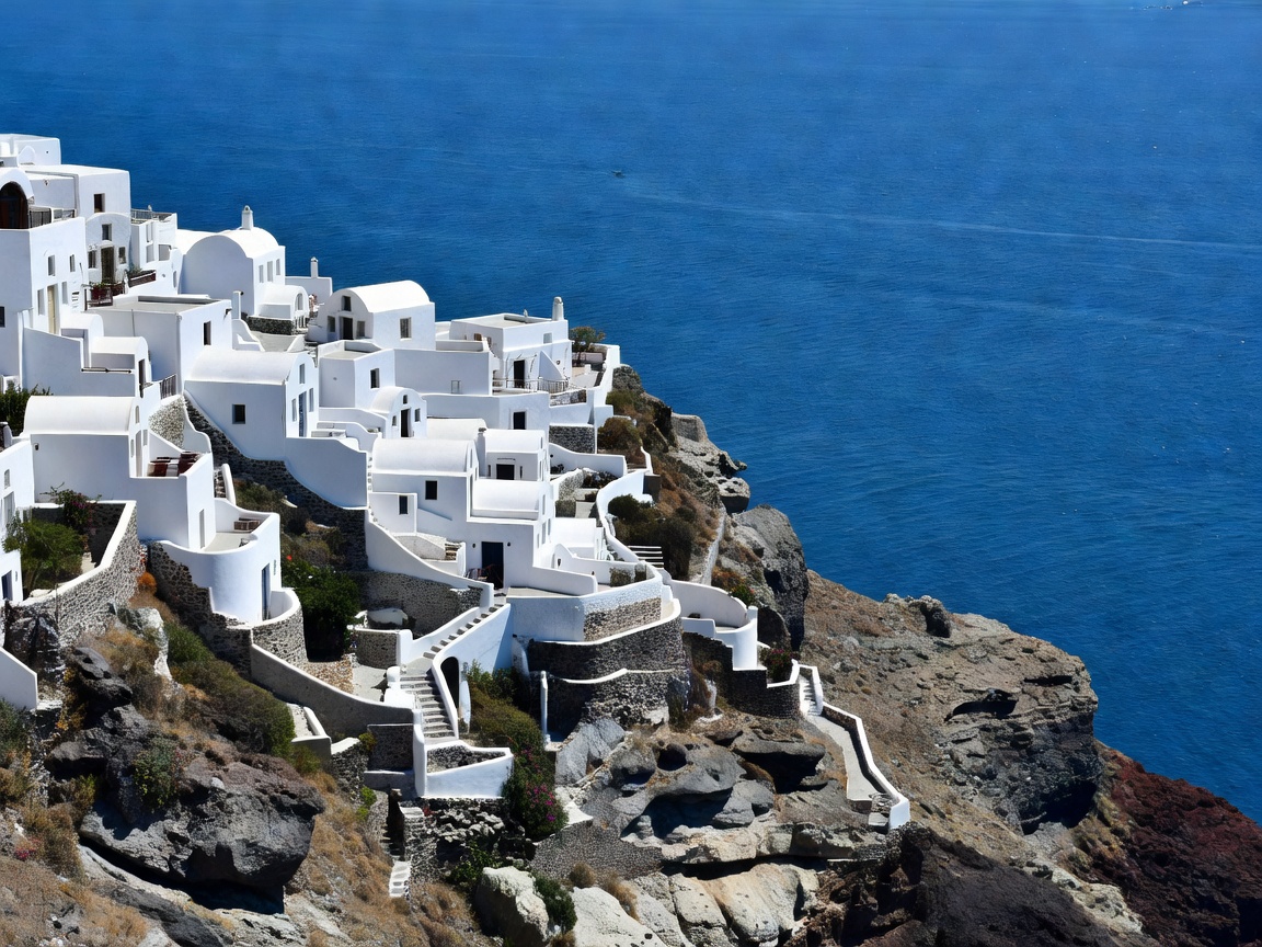
The crescent island of Santorini (Thira) was shaped by one of the largest volcanic eruptions in recorded history around 1600 BCE. The collapse of the central volcanic cone left a dramatic sea-filled crater surrounded by steep 300-meter cliffs.
Key Atlas Intelligence
- Caldera Depth: 300 to 400 meters below sea level
- Iconic Walk: Fira to Oia Cliffside Hike (10.2 km along the rim)
- Archaeological Site: Akrotiri (Minoan Bronze Age settlement preserved in volcanic ash)
Navigating the Cliffside Trails
The world-famous hike from Fira to Oia traverses volcanic ridges with sweeping views of the Aegean Sea and Nea Kameni islet. Sunset in Oia offers unmatched golden hour reflections across whitewashed cave houses and blue-domed churches.